

Advanced Survey Technologies
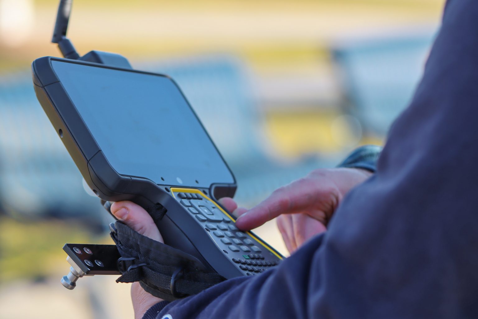
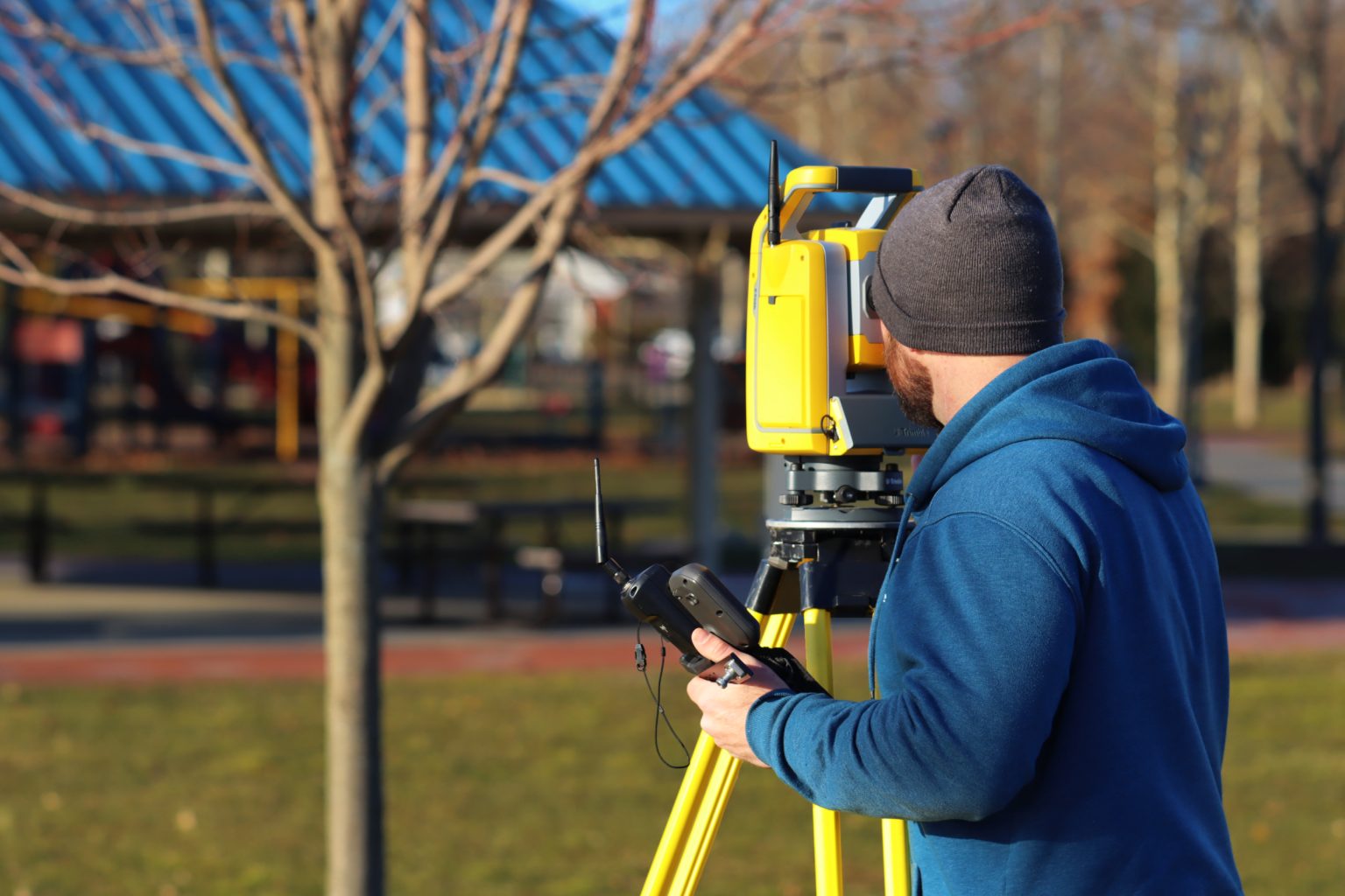
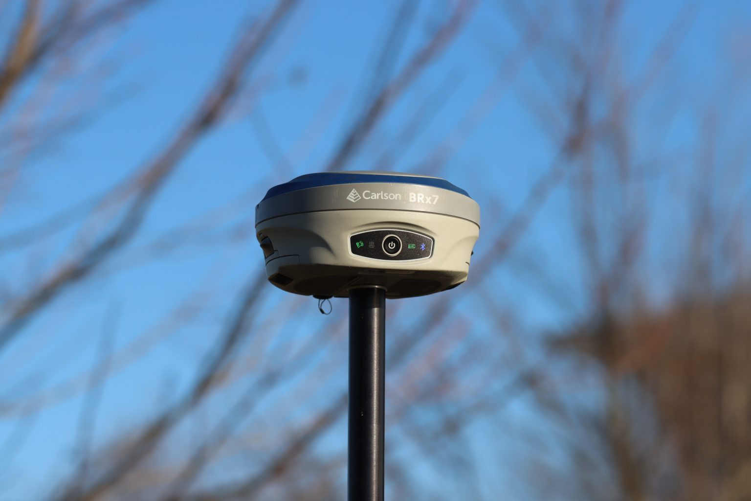
Technologies in land surveying are ever advancing. Over the years, the survey and consulting industry has been revolutionized by GPS. Given the ongoing refinements and advances in the hardware, processing software, and satellites, GPS technology will continue to improve. While GPS technology will continue to be a mainstay in land survey, new technologies are rapidly gaining use. The dawn of total robotic stations, drones, laser scanning and other new technologies is changing the landscape of modern land survey. Notably, laser scanner technology has risen to the forefront of the surveying industry and can provide unparalleled data in the most efficient timeframe. 3D scanners can be deployed to capture more detail, more situational awareness, and ultimately more information and data for a project. Barton & Loguidice continues to invest and stay abreast of the ever-changing industry technologies for our clients.
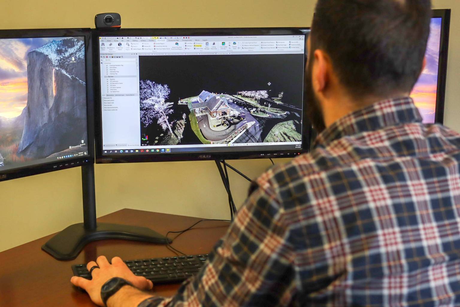
Laser scanner technology has risen to the forefront of the surveying industry and can provide unparalleled data in the most efficient timeframe. 3D scanners can be deployed to capture more detail, more situational awareness, and ultimately more information and data for a project. The resulting 3D models or Building Information Models (BIM) provide extensive details which can aid in, capturing the physical measurements of objects, quickly developing existing as-built conditions, improving effectiveness of working with complex parts, shapes and equipment across multiple trades, and more accurately accommodating multiple project components into the design and construction.
Furthermore, laser scanning technology can also be utilized to develop digital twins, or a virtual interactive rendering, to help in the long-term maintenance and monitoring of the performance and function of a design once constructed.

Specific Areas of Expertise
For more information, please contact:

Advanced Survey Technologies Gallery

Manchester Independent Living Complex: Manchester, Connecticut
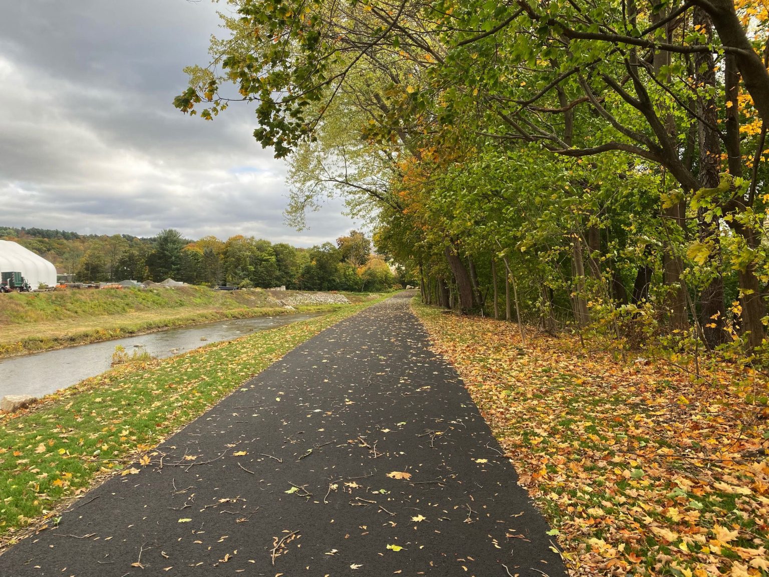
Naugatuck River Greenway: Torrington, New York
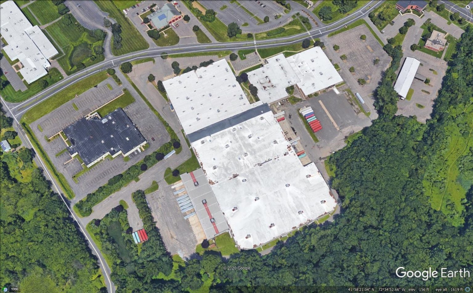
ALTA/ACSM Land Title Survey: Connecticut
Replacement of Goshen Hill Road Bridge over Exeter Brook: Lebanon, Connecticut
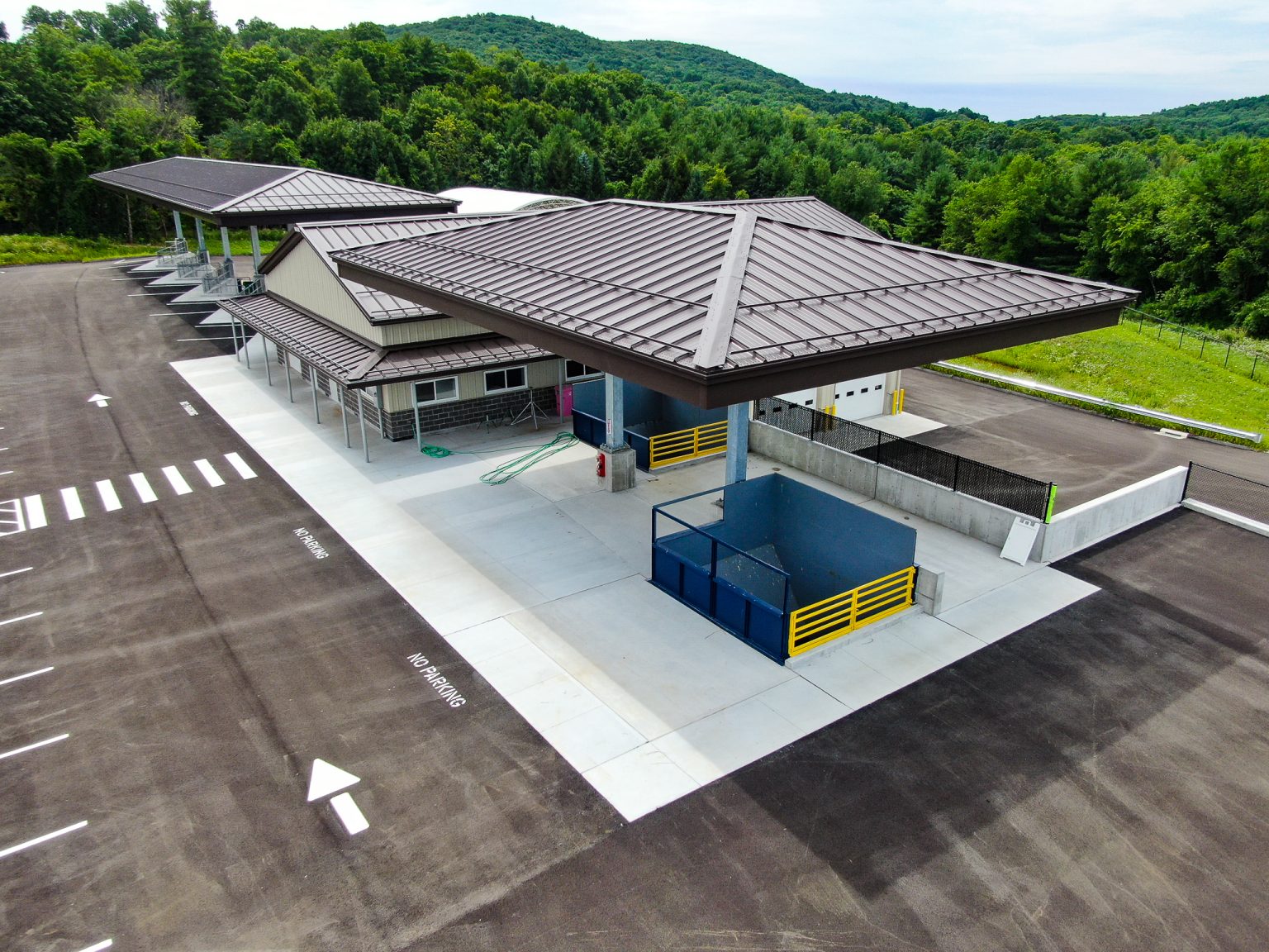
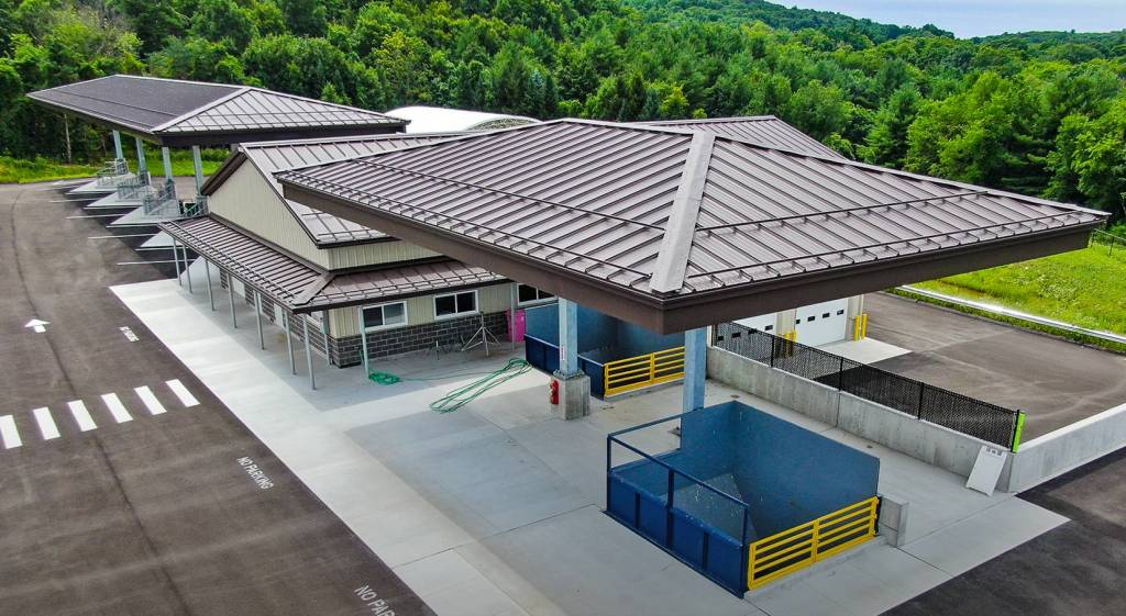
Salisbury/Sharon Transfer Station Development: Connecticut


Interested in learning more about our other Land Surveying services?
Click Here